White River Initiatives
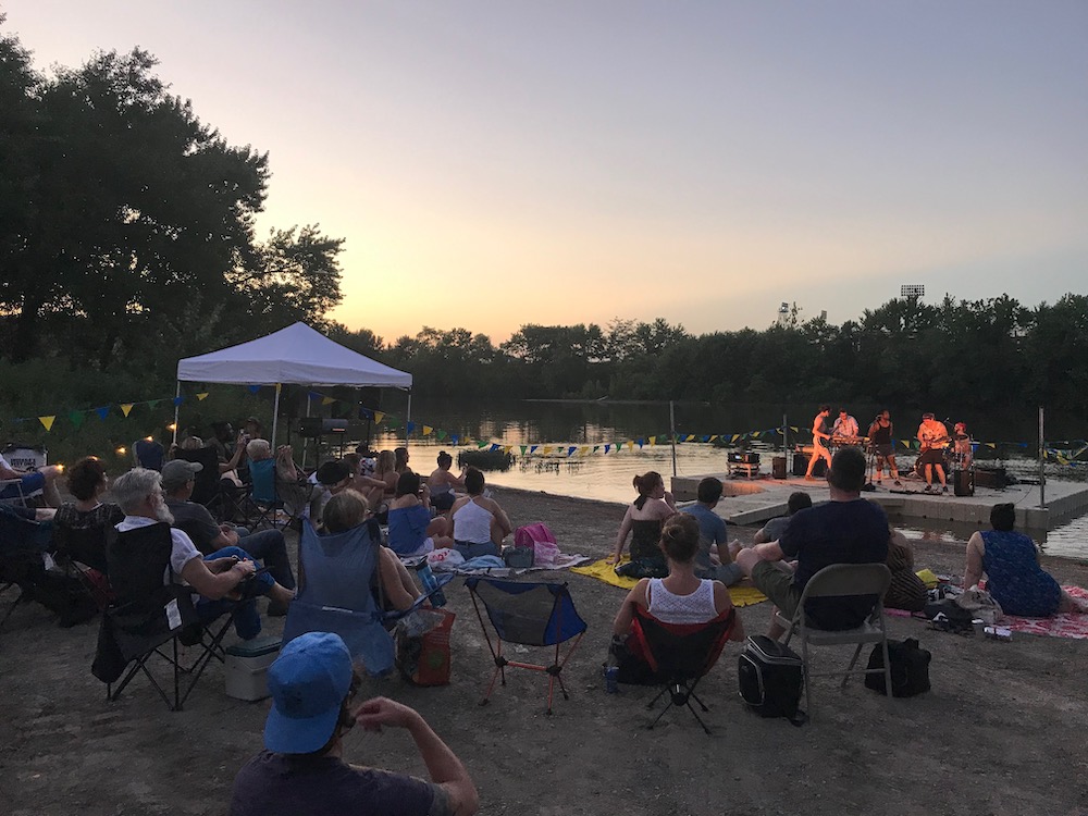
A Rising Tide
This unique mobile, non-invasive arts district from Indy Convergence brings diverse performances to intimate pop-up venues using both all-terrain and floating stages.
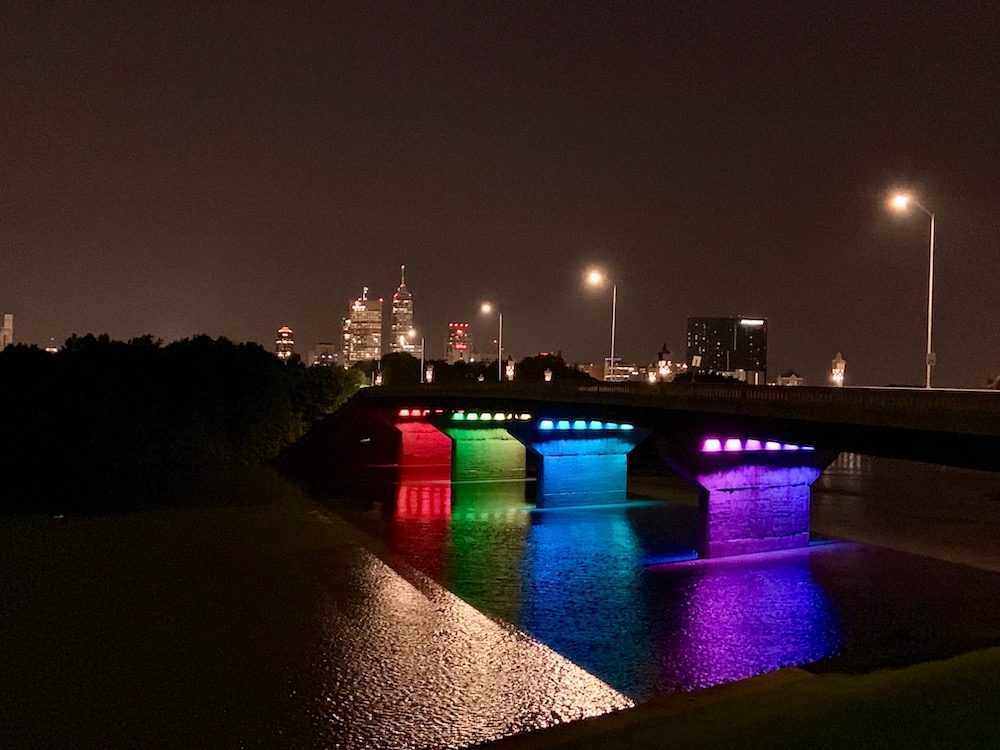
New York Street Bridge
The committee, the City, and local group Near West 21 has partnered to install planter boxes and colorful LED lights for celebrating Indy events and the Near West Community.
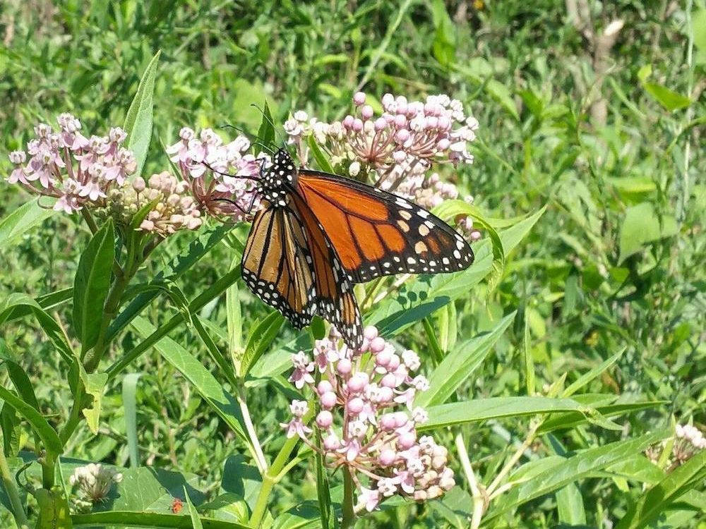
Butterfly Sanctuary Initiatives
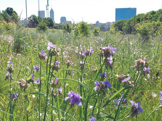
A series of native pollinator gardens will bring wildlife and beauty to Near West communities, in partnership with local schools such as Wendell Phillips School 63.
Stairs to the River
This project involves clearing invasive plants along the Urban Wilderness Trail to create river viewsheds, planting native species, and extending accessibility.
Committee File Cabinet
Quick Waterway Facts
Meeting Minutes
Physical Facts
- The West Fork of the White River is 362 miles long and is the largest waterway in Indianapolis.
- Wildlife that can be spotted along the river
inlcude Great Blue Heron, Snapping Turtles, and Beaver. - About 60% of Indianapolis’ drinking water
is from the White River.sources
Historical Facts
- The Miami name for the White River is Wapahani, meaning “white sands,” and was a key route for area Native American communities.
- It was once law that industry had to dump their waste into the White River! Now, however, the City and its partners are working to clean up the river to provide healthy habitats, recreation, and a cleaner drinking water source.
Community Facts
- From Broad Ripple on the
North Eastside to West Indianapolis southeast of downtown, Indy neighbors are embracing the White River. ROW partners such as the White River Alliance, Indianapolis Art Center, Friends of White River, Keep Indianapolis Beautiful, Indiana Wildlife Federation, and many more are working to bring arts, recreation, andhabitat restoration to the banks of the river.
