Pogue’s Run Initiatives

Community Engagement
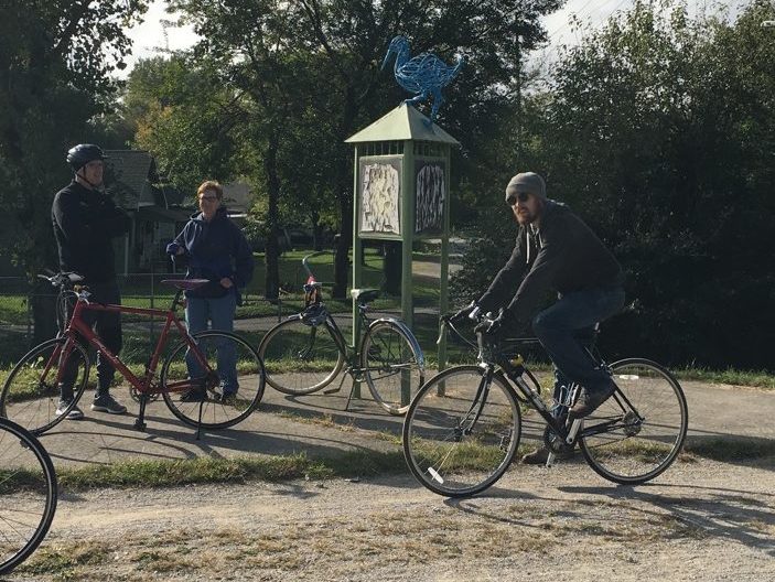
Fun events bring community together through Pogue’s Run waterway include bike tours and a photo contest which highlight Spades and Brookside Parks and local businesses.

Citizen Science Initiative
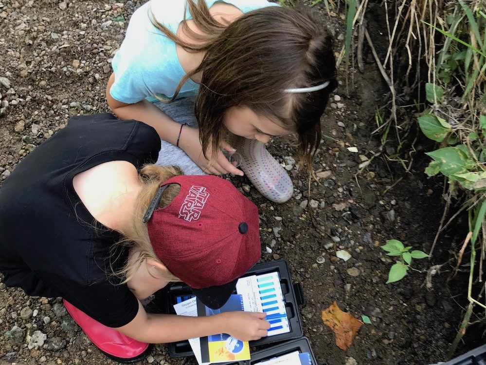
Using Indiana Department of Environmental Management’s Hoosier Riverwatch program, this committee is getting small teams together to directly contribute to waterway science.

Pogue's Run Trail Implementation
Partnering with Pathways Over Pogue’s, Cummins, the City of Indianapolis, and Parks Foundation, this effort focuses on restoring historic Nowland Avenue Bridge and the completion of Pogue’s Run Trail.

Habitat Restoration
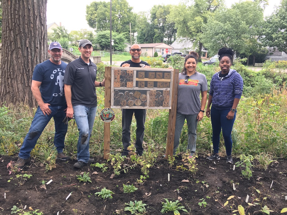
Partners Cummins, Department of Public Works’ Land Stewardship, and Keep Indianapolis Beautiful have overseen extensive habitat restoration efforts along Pogue’s Run in Spades Park and beyond.
Committee File Cabinet
Quick Waterway Facts
Community Resources
Meeting Minutes
Physical Facts
- Pogue’s Run is 11 miles long.
- This waterway goes underground as it intersects New York Street, running under Downtown Indy including the Lucas Oil Stadium, before
empyting into the White River.
Historical Facts
- Pogue’s Run is named after an early European settler George Pogue, who disappeared under mysterious circumstances.
- The wetlands once surrounding Pogue’s Run, like those of Pleasant Run,
were once use by escaping enslaved people on the Underground Railroad.
Community Facts
- Small businesses in this Near Eastside waterway community are an integral part of connecting residents to the waterways and frequently partner with the Pogue’s Run Committee.
- Local art and design
flourishes in this neighborhood as well, with the Circle City Industrial Complex house studios and maker spaces located across the street from the waterway and small galleries emerging in the area.


