What do neighbors know about Indy’s waterways? People often don’t notice the waterway flowing through their own communities. Reconnecting to Our Waterways (ROW) wants to remind residents how integral local waterways have been to Indianapolis’ history and how they continue to enrich life throughout the city.
George Kessler’s Indianapolis Parks and Boulevards Plan made a big splash in 1909 and set the stage for parks and waterway infrastructure development in Indianapolis for a century. With many other plans and projects in between, the city’s newest efforts to improve the quality of life along the waterways continue to take inspiration from this initial ambitious vision. Take a deeper dive into three of Indy’s waterways and discover how they have mattered to Indy’s history and how they matter to current residents’ quality of life.
Fall Creek
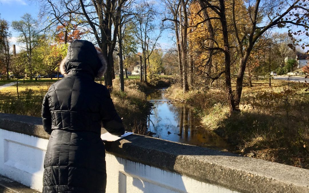
Next to the White River, Fall Creek may be the most obviously visible to Indy locals and visitors alike as motorists cross historic bridges from Keystone Avenue to Capitol Avenue. Indianapolis was purposefully located along the junction of Fall Creek and the White River as a key resource hub. What is now Mapleton-Fall Creek neighborhood was once popular as a place where travelers could stop and water their horses between Broad Ripple and Indianapolis. With the development of parks and parkways, the waterway became a destination in itself for recreation and relaxation.
ROW’s Fall Creek focus area flows southwest with the waterway from 56th Street to Interstate-65. Today, visitors to Millersville can enjoy the Fall Creek Preserve and those walking along the greenway in Fall Creek Place can spot the new Urban Orchard developed by ROW partner Keep Indianapolis Beautiful (KIB). ROW’s Fall Creek Committee and the Crosstown neighborhood are looking to make new histories by advocating for the development of Reverend Charles Williams Park, including rustic trails and educational programming.
Pogue’s Run
ROW’s focus area along Pogue’s Run is mostly located on the Near Eastside of Indianapolis as it winds through Cottage Home, Spades and Brookside Parks, and up to the edge of the Martindale-Brightwood area. Pogue’s Run also goes under downtown Indy, eventually flowing into the White River near the Kentucky Avenue bridge. This waterway was named for an early white settler who mysteriously disappeared and also once held wetlands that were an effective hideout on the Underground Railroad.
Today, you can find newly restored habitats in both Spades and Brookside Parks and a human-made wetland area at the Pogue’s Run Art and Nature Park. The Winter Farmer’s Market operates at the Circle City Industrial Complex on Saturday mornings and new small businesses and art spaces have emerged alongside long-established local institutions. Fun events are in the works from ROW’s Pogue’s Run Committee combining the arts and engagement with the waterway and potential citizen science projects to measure the impact of habitat restoration on water quality.
Pleasant Run
Indy’s South East neighborhoods are home to this winding waterway traversing the historic areas of Garfield Park, Bates-Hendricks, and Fletcher Place, through Twin Aire and Christian Park, on up to Irvington. Garfield Park itself was constructed before Kessler’s plans and is the oldest park in Indianapolis. An ice-skating rink at the junction of Bean Creek and Pleasant Run provided winter fun. While Pleasant Run Parkway was built during the era of Kessler’s Parks and Boulevards Plan, the Pleasant Run Trail was not built until the late 1990s.
Along Pleasant Run today, residents can find destinations spearheaded by ROW’s Pleasant Run Committee at Barth Avenue and Prospect Falls, with a new one at Spruce Bridge being completed this year. Habitat restoration is an element at each of these sites along with artistic elements that engage visitors with the waterway in unexpected ways. The Pleasant Run Committee will be working on the Spruce Bridge project and potential new projects in Christian Park later in the year.
George Kessler’s 1909 Parks and Boulevards Plan charted an initial course for urban resident access to the waterways and Indianapolis continues to plan in ways that benefit life along its waterways. The Marion County Transit Plan is being implemented with better transportation options for Indy residents that will reduce pollution to the waterways. View this plan at indymoves.org. The White River Vision Plan hopes to bridge restoration, sustainable economic development, and recreation along Indy’s largest waterway. Check out the evolving concepts of this plan at mywhiteriver.com. Thrive Indianapolis will address the city’s ability to be resilient in the face of environmental change, which includes addressing equity. Learn more about this newly released plan by visiting thriveindianapolis.com.
Be part of histories in the making with ROW and join a Waterway or Element Committee by contacting [email protected].

